Satellite monitoring
Vegetation, water and chlorophyll indices from Sentinel-2, drawn over your exact boundary and refreshed with every clear pass.
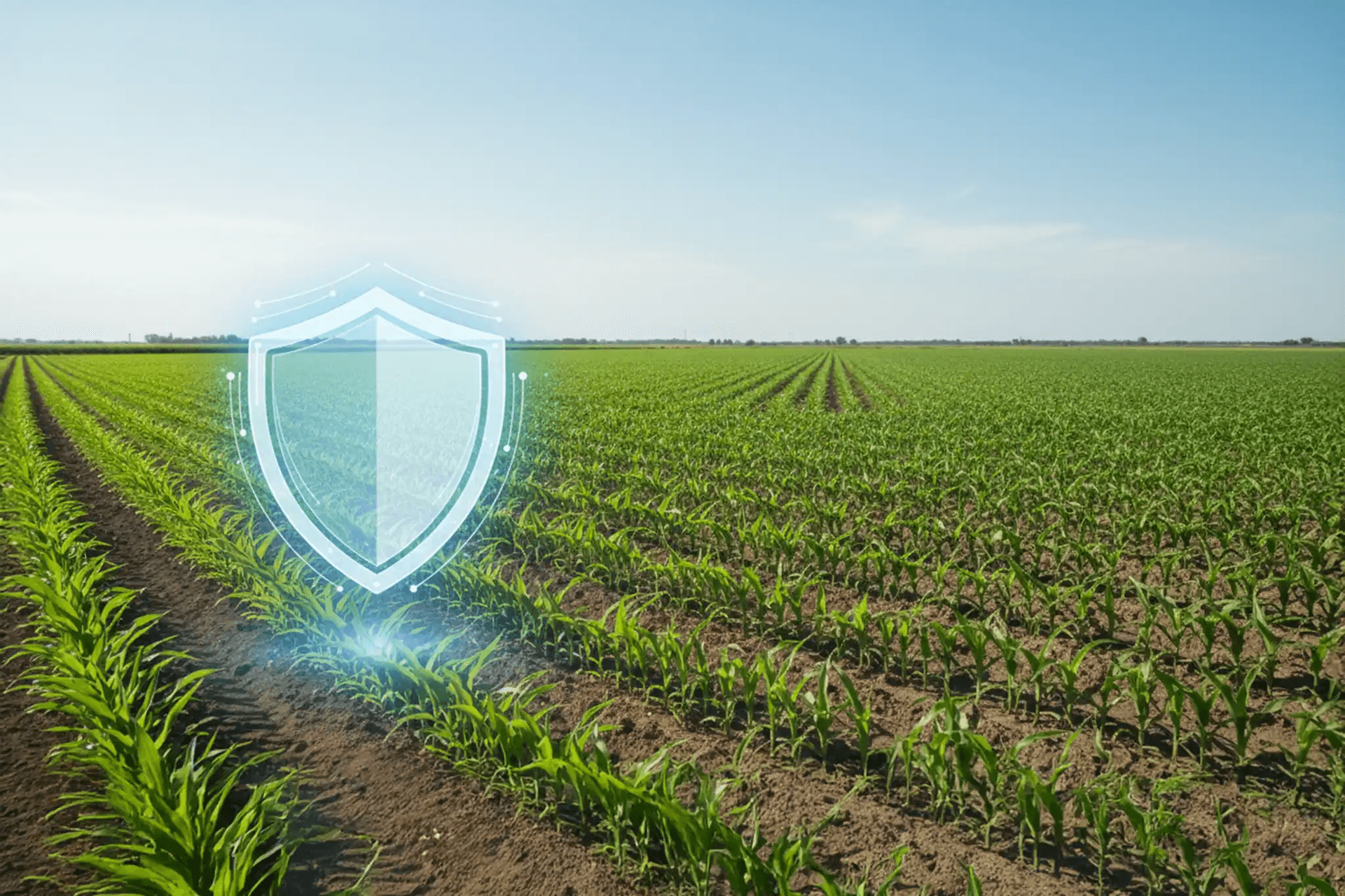
Earth Scan Systems turns satellite imagery and weather data into early warnings, fair claims and faster payouts, so a bad season does not become a lost farm.
One platform for the farmer, the insurer, the bank and the regulator, all looking at the same evidence.
Vegetation, water and chlorophyll indices from Sentinel-2, drawn over your exact boundary and refreshed with every clear pass.
Forecasts plus heat, cold and rainfall-deficit tracking at your field, so risk is visible before it becomes damage.
Triggers open claims automatically. Fraud checks and a full audit trail keep decisions fair and traceable.
Draw the boundary on a satellite map or upload a KML file. Add your crop and sowing date.
Compare approved products, see the exact premium and sum insured, and pay online.
Sentinel-2 imagery and local weather are checked against what your crop should look like.
When a trigger is reached a claim opens automatically and moves to review and payout.
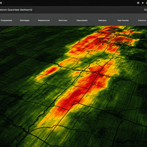 NDVI heat map
Every satellite pass becomes a map of your field. Healthy canopy, water stress and bare soil show up as colour, and your crop is judged against the range it should be in at its growth stage.
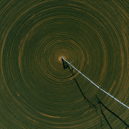 Claim evidence
When rainfall, heat or crop-index thresholds are crossed, the claim starts itself. Reviewers see the same evidence you do, and nothing is paid without a traceable decision.
Each role sees exactly what it needs and nothing more.
Register fields, buy cover, track crop health and file claims with photos.
Price and underwrite cover, watch exposure on a map and decide claims.
Link loans to insured fields and see repayment risk before it shows up.
Aggregate disaster and subsidy reporting, never individual farmers.
Review and approve product terms before they are sold.
Verify land documents and carry out on-site claim assessments.
Cover is built around measurable events, each with a clear trigger and a clear payout.
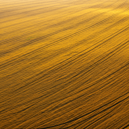
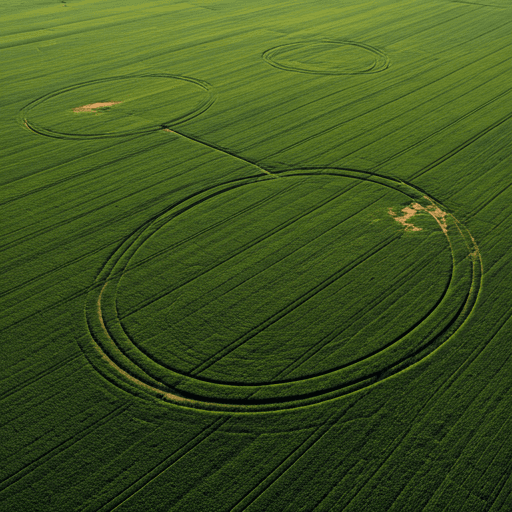
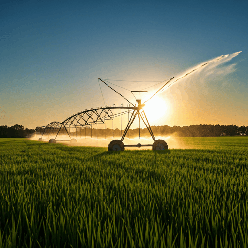
Instead of waiting for someone to walk your field and estimate losses, the policy pays when an objective measure, such as rainfall deficit or a drop in the satellite vegetation index, crosses a threshold written into your policy.
We read Sentinel-2 satellite imagery over your drawn boundary and combine it with weather data for the same location. The result is compared with what this crop normally looks like at this stage of growth.
When a parametric trigger is reached, a claim is opened for you automatically. You can also file a claim yourself with photos and remarks; it is checked against the satellite record and reviewed.
Only you, and the institutions you choose to share a field with, such as your bank. Government reporting is aggregated and never shows individual farmers. Every change is kept in an audit trail.
Yes. The platform works in English and Urdu.
Register a field, draw its boundary and see your cover in minutes.