
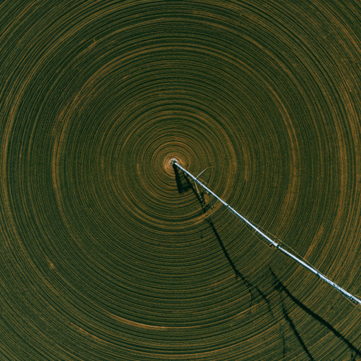
Automatically, from a trigger
A rainfall, heat or crop-index threshold written into your policy is crossed. The claim opens on its own, with the measurements attached.
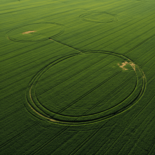
Six clear steps, each one visible to you, with a notification at every stage.
Colour shows who is responsible for each step.
Create a free account, draw the boundary on a satellite map or upload a KML file, and add your crop, irrigation and sowing date. Upload a land document so a field agent can verify your ownership.
Browse approved insurance products. The premium, the sum insured and any subsidy are calculated for your field before you commit, and the trigger terms are written in plain words.
Pay online by card, JazzCash or Easypaisa, or by bank transfer that your insurer records. The policy only moves on once the payment provider confirms it.
An underwriter reviews and activates the policy. You are notified the moment cover is in force and when monitoring starts.
Every clear Sentinel-2 pass is read over your boundary and compared with the range this crop should show at its growth stage. Weather at your field is tracked in parallel.
If a trigger from your policy is reached, a claim opens automatically. Reviewers see the evidence, fraud checks run, and an approved claim moves to payout with a full record.
Either way, reviewers see the same evidence and every step is logged.
A rainfall, heat or crop-index threshold written into your policy is crossed. The claim opens on its own, with the measurements attached.

Damage the measures did not catch? Add photos and remarks. They are checked against the satellite record and sent for review.
The policy pays on an objective measure written into it, which is what makes decisions fast and consistent.
| Traditional claim | Earth Scan | |
|---|---|---|
| Loss assessment | A surveyor visits and estimates | Satellite and weather measurements |
| Time to a decision | Weeks, after the damage is surveyed | Starts the day a trigger is reached |
| Evidence | Photos and a visit report | Imagery, indices and weather, kept on record |
| Who sees what | Paper files between parties | One shared record with role-based access |
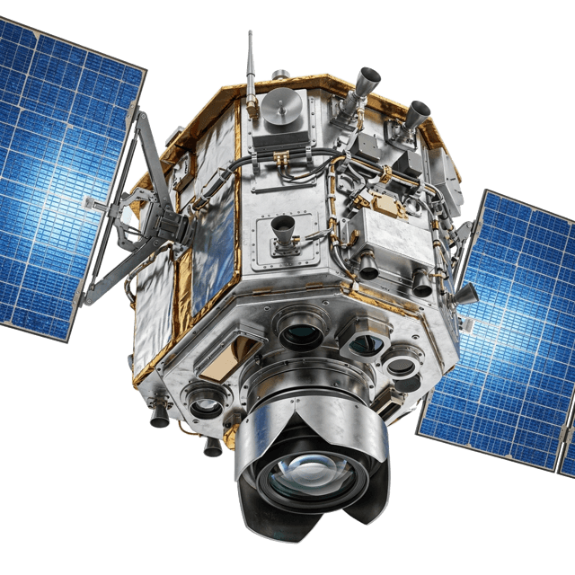
Healthy leaves reflect near-infrared light and absorb red. The ratio, NDVI, tracks how dense and vigorous your crop is.
Your reading is set against the range this crop should show at its growth stage, so a young field is not mistaken for a stressed one.
Create an account and draw your first boundary in a few minutes.